East Gwillimbury Canada
East Gwillimbury is a city in Ontario, Canada
East Gwillimbury is a town on the East Holland River in the Regional Municipality of York. It is part of the Greater Toronto Area of southern Ontario, in Canada. It was formed by the amalgamation of the Township of East Gwillimbury with all the previously incorporated villages and hamlets within the township. The main centres in East Gwillimbury are the villages of Holland Landing, Queensville, Sharon, and Mount Albert. The Civic Centre (municipal offices) are located along Leslie Street in Sharon. The northernmost interchange of Highway 404 is at the North edge of East Gwillimbury, just south of Ravenshoe Road. The hamlets of Holt and Brown Hill are also within town limits.
| Top sights in East Gwillimbury | |
|---|---|
| Sharon Temple | 44.101281 / -79.441888 |
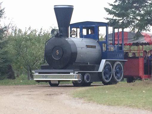
| Brooks Farms | 44.138750 / -79.286380 |
| Stardust Drive-In | 44.100103 / -79.459498 |
| Pheasant Run Golf | 44.091370 / -79.374494 |
| Queensville Antique Mall On Woodbine | 44.134135 / -79.421025 |
| Silver Lakes Golf & Conference Centre | 44.142127 / -79.507714 |
| Rogers Reservoir Conservation Area | 44.088033 / -79.458683 |
| Rose Family Farm | 44.098654 / -79.296442 |
| Shawneeki Golf Club | 44.096812 / -79.405069 |
| Rail Yard Wake Park | 44.166882 / -79.326246 |
| Holland Landing Ont. | 44.099861 / -79.487423 |
| East Gwillimbury Farmers' Market | 44.074292 / -79.484510 |
| Black Water Golf | 44.199347 / -79.336392 |
| Macwilliam Farms | 44.190742 / -79.463315 |
| 1 | ›› |