Sechelt Canada
Sechelt is a city in British Columbia, Canada
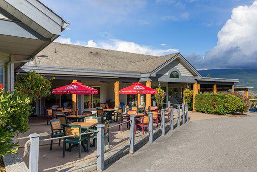
Coordinates: 49°28′27″N 123°45′15″W / 49.47417°N 123.75417°W / 49.47417; -123.75417 The District Municipality of Sechelt /ˈsiːʃɛlt/ is located on the lower Sunshine Coast of British Columbia. Approximately 50 km northwest of Vancouver, it is accessible from mainland British Columbia by a 40-minute ferry trip between Horseshoe Bay and Langdale, and a 25-minute drive from Langdale along Highway 101, also known as the Sunshine Coast Highway. The name Sechelt is derived from the Sechelt language word, shishalh, the name of the First Nations people who first settled the area thousands of years ago.
| Top sights in Sechelt | |
|---|---|
| Porpoise Bay Provincial Park | 49.506519 / -123.746944 |
| Sechelt Heritage Hidden Groves | 49.526243 / -123.755440 |
| Sechelt Visitor Centre | 49.471173 / -123.762836 |
| Burnett Falls Park | 49.500855 / -123.737584 |
| Chapman Creek Hatchery And Nature Destination | 49.445235 / -123.716674 |
| Dakota Ridge | 49.506255 / -123.608572 |
| The Bricker Cider Company | 49.478876 / -123.810003 |
| Sunshine Coast Botanical Garden | 49.486583 / -123.802185 |
| Ravens Cry Theatre | 49.473923 / -123.749788 |
| Tetrahedron Provincial Park | 49.595081 / -123.602530 |
| Davis Bay Beach | 49.443320 / -123.725499 |
| Sunshine Coast Salmon Enhancement Society | 49.445324 / -123.716684 |
| Sechelt Inlets Marine Provincial Park | 49.702748 / -123.786454 |
| Coast Gravity Park | 49.501224 / -123.726686 |
| Brookman Park - Off Leash Dog Park | 49.441022 / -123.722738 |
| Mount Richardson Provincial Park | 49.562745 / -123.753202 |
| Sunshine Coast Winery | 49.464550 / -123.732770 |
| 1 | ›› |